Rocky Point Pine Barrens State Forest
Park Overview:
What was known until the 1970s as “Radio Central” for global communications is now a pine barrens habitat seemingly separated from civilization, at least after hiking away from the trailheads along Route 25A
Park Description:
Rocky Point Pine Barrens State Forest
From 1920 to the 1970s, the open lands now occupied by Rocky Point Pine Barrens State Forest were owned by the Radio Corporation of America (RCA) and housed a huge antenna field operating as a global communications center. The largest radio-transmitting field in the world became known as “Radio Central.” These multiple 400-foot antennas were made obsolete with the arrival of earth orbiting satellites, and in the 1970s, RCA donated the site to the State of New York.
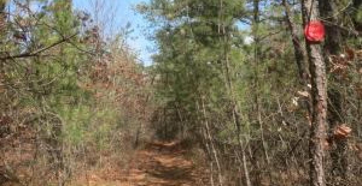
The lands of the preserve are comprised primarily of low growing oak woodland and Pine Barrens habitat. The terrain is largely flat, and there are no streams or ponds along the trails. One can do a 10.5-mile hike from the Whiskey Road parking area and encounter hardly any evidence of civilization -- aside from two road crossings and a short section where some buildings are visible in the distance.
Trails Overview:
Within the state forest are three blazed trails, ranging from two miles to nearly five. They can be combined into a loop hike of about 10.5 miles. Use the Web Map link on this site for a trail map. Bikers and equestrians are not permitted on hiking trails, but have designated trail networks for their use – trail maps are provided separately on the DEC website.
- Click for a detailed description of a 10.5-mile hike in Rocky Point by an experienced NY-NJ Trail Conference hiker-writer.
The network of trails contained within the preserve includes the western trailhead and a five-mile segment of the Paumanok Path (white blaze). The Path continues into the Pine Barrens Region and ultimately concludes, with some interruptions, 125 miles to the east, at the Montauk Point Lighthouse. Some identify it as “Long Island’s Appalachian Trail.”
- The Paumanok Path's trailhead is from the parking area off NY-Route 25A East. It is initially co-aligned first with the Blue Trail to a junction with the Red Trail, and then turning south co-aligned with the Red Trail to Whiskey Road. Beyond Whiskey Road are white blazes (only) marking the pathway.
A free access permit is required for all activities on NYSDEC-managed lands on Long Island. Use the DEC’s web site for instructions and to download an application form.
Hunting is allowed in season; check the DEC’s web site.
Park Acreage:
5249.00 acresMunicipality:
Town of BrookhavenWhat was known until the 1970s as “Radio Central” for global communications is now a pine barrens habitat seemingly separated from civilization, at least after hiking away from the trailheads along Route 25A
Rocky Point Pine Barrens State Forest
From 1920 to the 1970s, the open lands now occupied by Rocky Point Pine Barrens State Forest were owned by the Radio Corporation of America (RCA) and housed a huge antenna field operating as a global communications center. The largest radio-transmitting field in the world became known as “...
Park Acreage:
5249.00 acresMunicipality:
Town of BrookhavenContact Information
Web Link:
Department of Environmental Conservation, Region 1Phone:
(631) 444-0270Fees:
Some times and places; check with parkDogs in park:
Dogs on leash
Directions to Trailhead :
Whiskey Road Parking: Traveling from the New York City area, take the Long Island Expressway (I-495) east to Exit 66. Proceed north for 6.0 miles, and turn right onto Whiskey Road. Follow Whiskey Road for 1.1 miles and turn into a parking area (with the large number “18") on the left side of the road. (Trailheads for the Red Trail and Paumanok Path)
Approximate GPS coordinates: 40.908214, -72.922254
NY-Route 25A Parking: As above travel the Long Island Expressway east, but to Exit 63. Take Express Drive South exit ramp in Holtsville, turn north onto North Ocean Avenue, which becomes Patchogue-Mount Sinai Road. Travel 7.6 miles to turn right on NY25A East (North County Road) in Rocky Point. Parking is 3.3 miles on right. (Trailheads for Red Trail, Blue Trail, Paumanok Path )
Approximate GPS coordinates: 40.944802, -72.948855
Google Map: “Paumanok Path Trail Head, Rocky Point, NY 11778”
- NY-Route 25A Bypass Parking: Drive an additional 0.8 mile east on North County Road, make slight right onto NY-Route 25A E, destination is on right in 0.2 mile. Approximate GPS coordinates: 40.945266, -72.930452 (Trailhead for Yellow Trail)

 Support the trails with a donation!