2020 - 8th edition
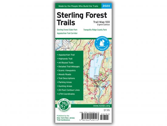
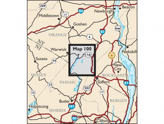
Our Sterling Forest Trails Map is a map featuring trails in Sterling Forest State Park in New York.


2020 - 8th edition
Our Sterling Forest Trails Map is a map featuring trails in Sterling Forest State Park in New York.
Our Sterling Forest Trails Map features more than 175 miles of marked trails in Sterling Forest State Park and nearby parklands, including more than 18 miles each of the Appalachian Trail and Highlands Trail. The map is printed in vibrant color on waterproof and tear-resistant Tyvek, and all trails include detailed junction-to-junction trail mileage numbers, making this map a must-have for exploring Sterling Forest State Park.
This 2020 revision includes the latest trail additions and relocations. The most significant trail change is the addition of nearly 7 miles of newly-constructed multi-use trails. Further updates to the map include the addition and adjustment of several parking lots and the addition of several newly-protected lands.
Map features include:
Our updated Sterling Forest Trails Map is also available on Apple and Android mobile devices through the Avenza Maps app. To get the latest map, see the link above (to the right of the cover graphic); also, to help ensure the Trail Conference receives as much of your support as possible, please consider making your purchase directly from that linked page rather than within the app itself. Learn more about the app here.
Trail Conference maps are built on more than 85 years of mapping experience. They are the trusted source for reliable trail information in the New York-New Jersey metropolitan region. These maps are "Made By the People Who Build the Trails" and are regularly updated with changes to the trails.
Write a review